 |
|
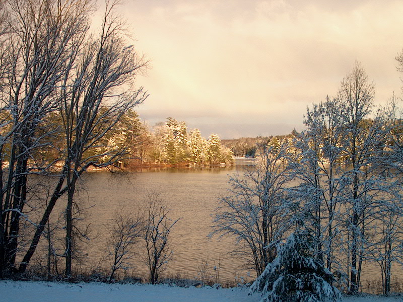
Bass Lake -Bill Irwin |
The Lake Study and Lake Plan resulted in documents of enduring interest and value. Links to them are on this page.
Study Reports
This section has links to some of the key reports produced during the Lake Study and Plan.
The Kahske Lake Plan
This document (1MB, 23 pages) is the principal report resulting from the Study. It was published in September, 2003.
Proposed Gravenhurst Official Plan Amendment
Prepared in September 2003 by the Kahshe Lake Plan Implementation Committee, this document (91KB) contains proposed changes to the Gravenhurst Official Plan.
Water Access Sub-Committee Report
The Kahshe Lake Plan Implementation Committee struck a sub-committee to focus of the crucial topic of water access. Their report, published in August 2003, is available here (665KB).
AGM Update - July, 2007
George Lindsay provided an update on the Lake Plan implementation at the 2007 Annual General Meeting. George's presentation is available here.
Maps
Maps, diagrams and photos are all important tools in the planning process. So too is input. You are invited to download, view, print the maps shown below. Simply click on the Map ID to download and view copies of the maps in Adobe Acrobat file format. You are also invited to provide comments related to the maps in Lake Study section of our online Discussion Forum.
The maps print nicely on 8.5" x 14" paper. To maximize the printed map size, ensure that you select this paper size and also select "Landscape" orientation in your print dialogue box. (Maps range in size from 275KB to 888KB, so may be slow loading on dial-up.)
|
Map ID |
Topic |
|
Study Area |
|
|
Residential Lots - Property Codes 211 and 300-395 |
|
|
Vacant Lots - Property Codes 100-111 and 241 |
|
| Overall Land Use Patterns | |
| Speed Limit Areas, Public Docks, Public Beaches | |
| Contour Information, Marshland Identification | |
| Heritage Areas (1994) | |
| Conservation Reserves | |
| Flood Plains, Environmental Protection Areas | |
| Ministry of Natural Resources - Fish Habitat Information | |
| Existing Official Plan Designations | |
| Boat Channel Protection Areas and Narrow Water Bodies | |
| Estimated Water Depths, Public Docks/Marinas | |
| Shoreline Properties With Development Potential at Minimum 300' Frontage | |
| Schedule B | Schedule B Official Plan Map (added August 30, 2003) |
| KahsheShoreline-Jul-2015.pdf |
2015 Kahshe Lake Land Use Survey: Shoreline Map |

