Car Section Locations
The route
It is strongly recommended that you do the Road Section in a clockwise direction, i.e. northbound on Hwy 11, eastbound on Doe Lake Road and southbound on Muskoka 6. Most locations are on the right side of the route and easier to access safely.
Total distance with detours is about 80 kms.
Estimated time is about 2.5 - 3 hours.
If you take the fascinating 4 km Tree Museum walk, add about 1.5 hours and add 3 photos — at the Outhouse, the Upside Down House and the Car Graveyard.
Safety At each of the locations take great care when stopping and, if necessary, take your photo from inside your vehicle. There is usually ample room to pull off the road or to pull over onto a wide verge, but remember that you are sharing the road with other users.
Locations ** means take your photo from inside your vehicle
Q1-Q8 no pictures needed. Include your written answers at the beginning of the photo document you submit as your completed quest
I have listed the locations in sequence as if you were beginning at SKLR, but of course, you can begin at any point along the route and finish when you get back to wherever you started. You may also do the route in stages, 5 locations one day, 6 more a week later, etc. Remember, this is not a race. Your entry could be the last one submitted and still be a winner.
Submission deadline is 11:59 p.m. on September 2, 2020.
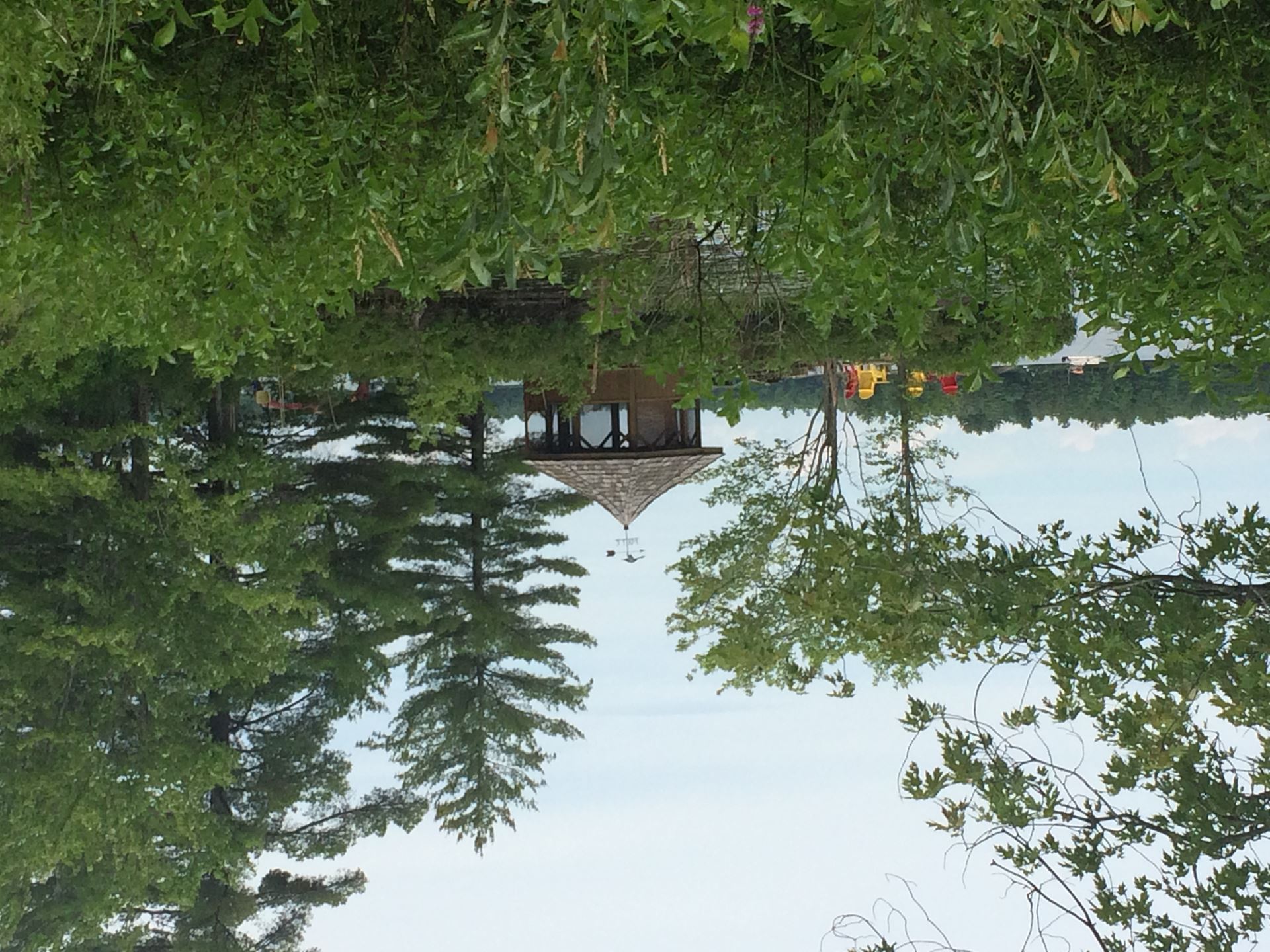
R1.**Ken Little’s Gazebo, SKLR just east of the dam
R2.The Dam, at South Kahshe Lake Road
R3.The old Kahshe Lake Resort Dance Hall, which is now Q1__________________________
R4.RJLiquidations, Hwy 11 between SKLR and NKLR, just north of Q2______________________ (street name)
R5.**Osborn Contracting sign at 1010 North Kahshe Lake Road
R6.**Nancy Sutton Kehl sign, 1075 North Kahshe Lake Road
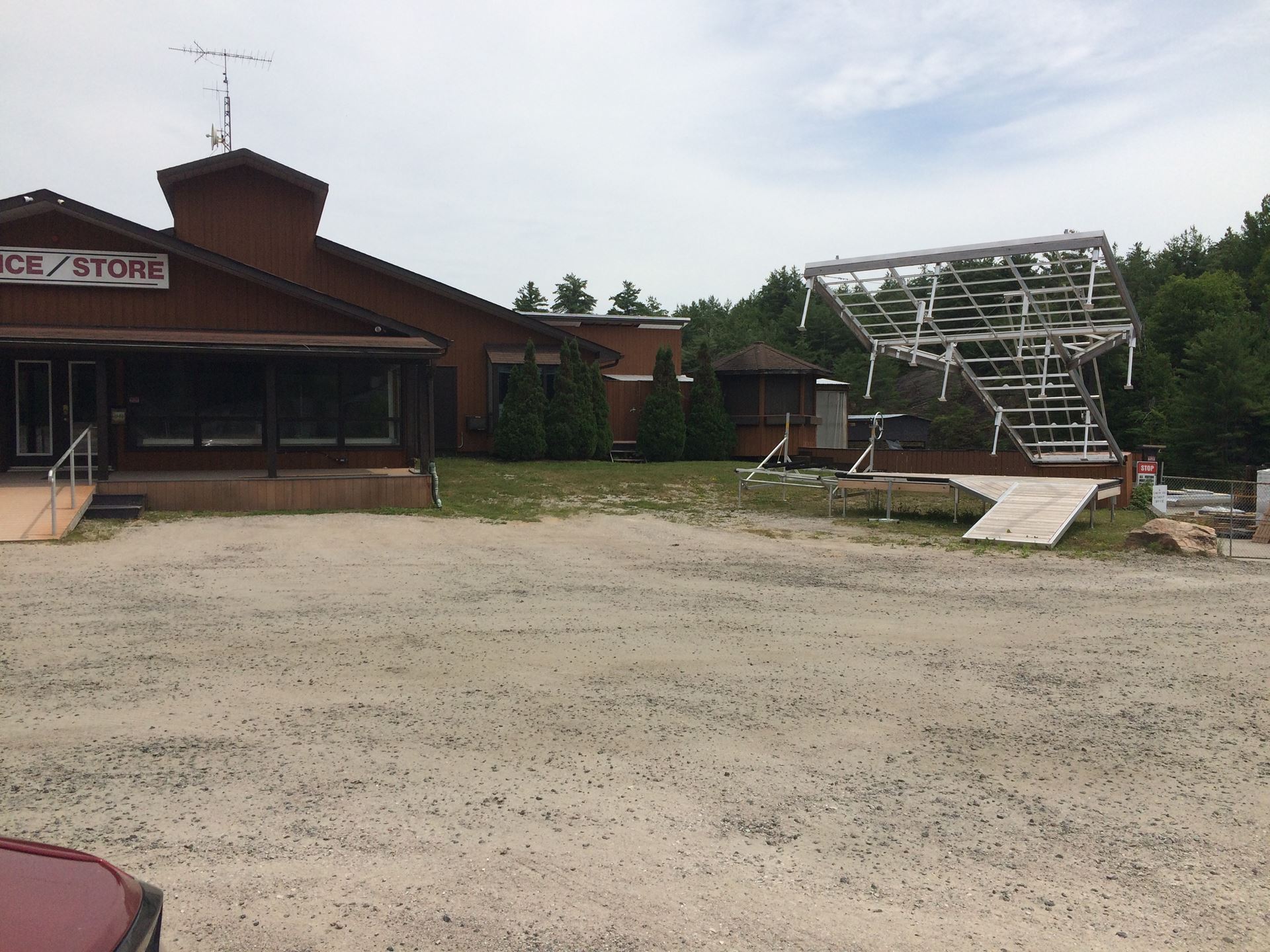
R7.Denne’s Marina office
R8.Chestnut Park sign (April Drane), on green garage just before Rockhaven
R9.Natural Solutions/Kahshe Boutique pop-up stores,
ONE DAY ONLY
Rockhaven Government Dock,
12 to 2 pm
Sunday August 2nd.
Take this opportunity to purchase your tickets for the
Kahshe Cares 2020: Night at the Drive-In
on sale at the Boutique.
Return to Hwy 11 N
R10.Muskoka Meats, Hwy 11 just north of the Muskoka Store
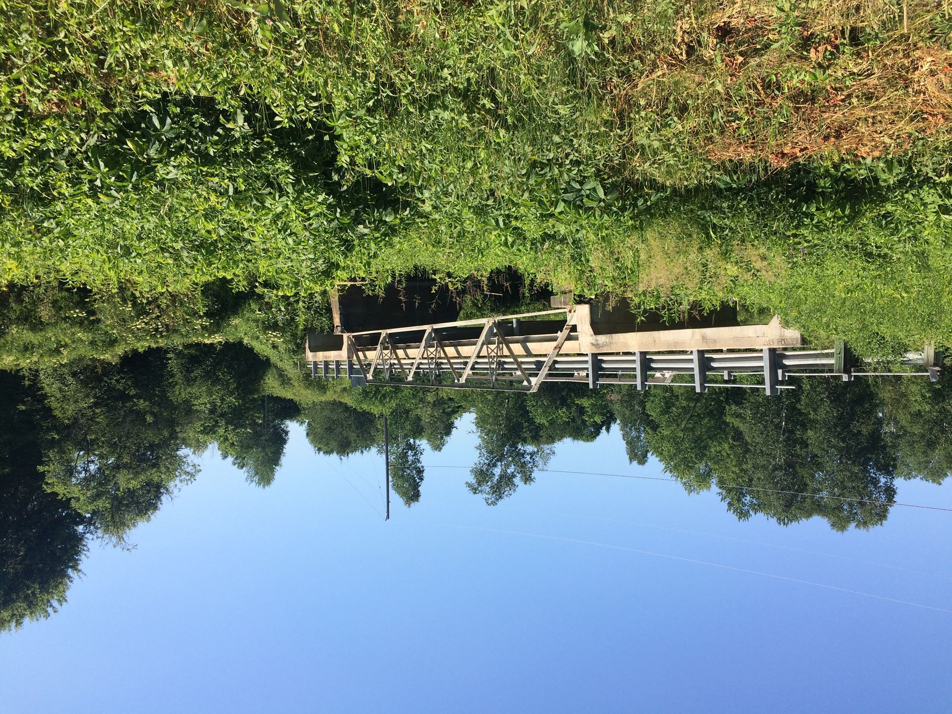
Continue north on Hwy11. Do not exit at the Gravenhurst exit. What is special about the bridge you pass under 800 metres before turning onto Doe Lake Road? Q3__________________
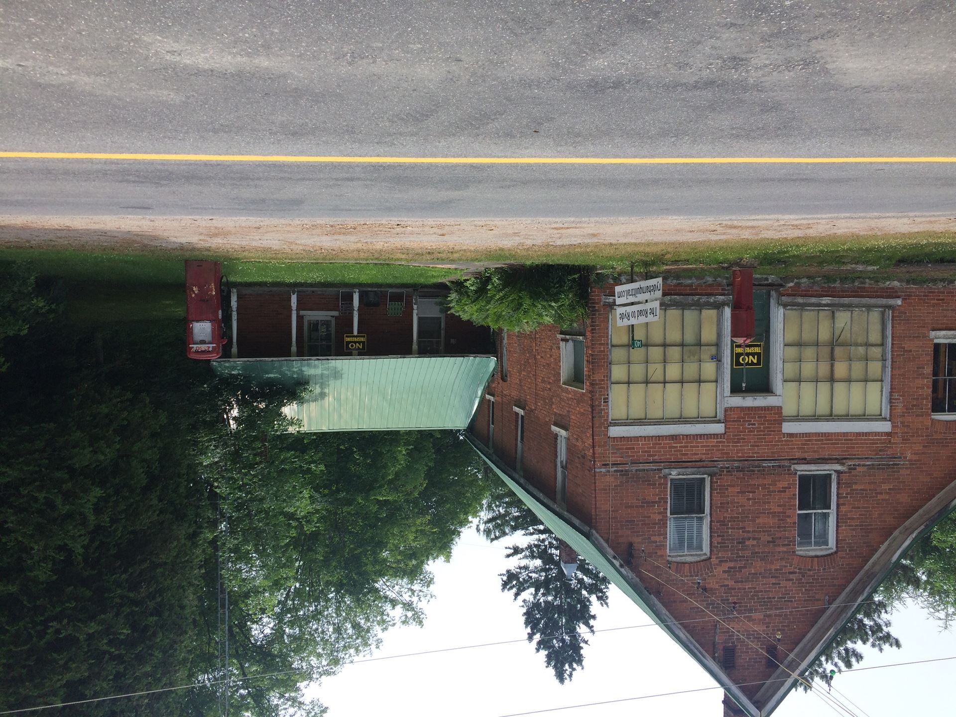
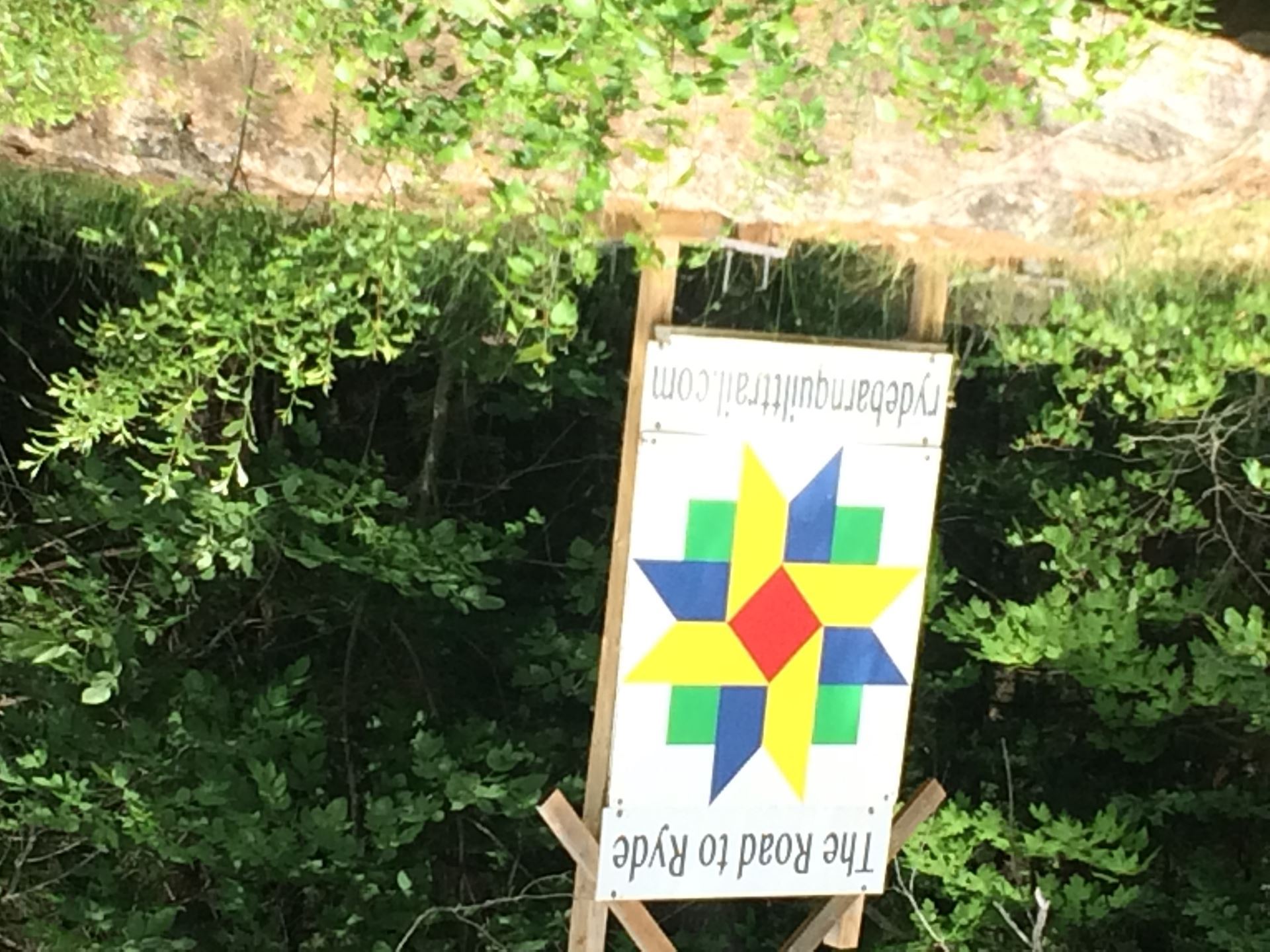
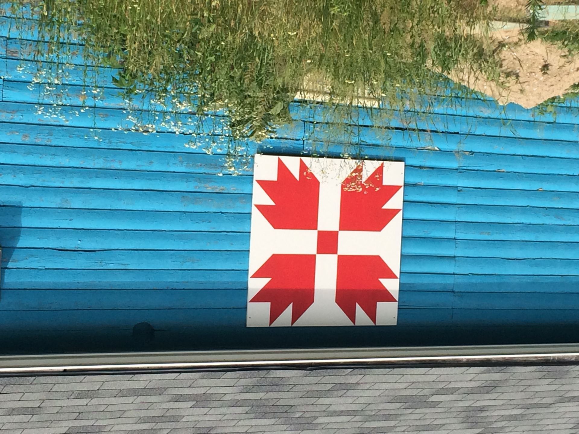
R11.**The first Quilt on the Ryde Quilt Trail, (on left) shortly after turning onto Doe Lake Road
R12.**Wit’s End sign, (on left) shortly after passing Doe Lake
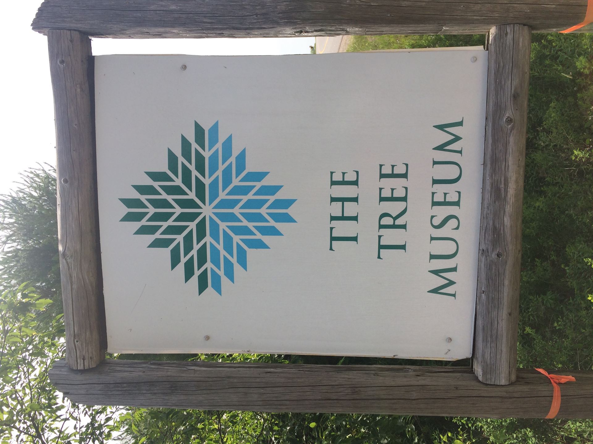
R13.The Tree Museum sign, 1 km after Wit’s End
If you take the fascinating 4 kmTree Museum walk, be sure to take photos of TM1. the Outhouse, TM2. the Upside Down House and TM3. the Car Graveyard.
Continue for 4.5 kms and turn right at Q4____________________ onto Muskoka 6 (Housey’s Rapids Road).
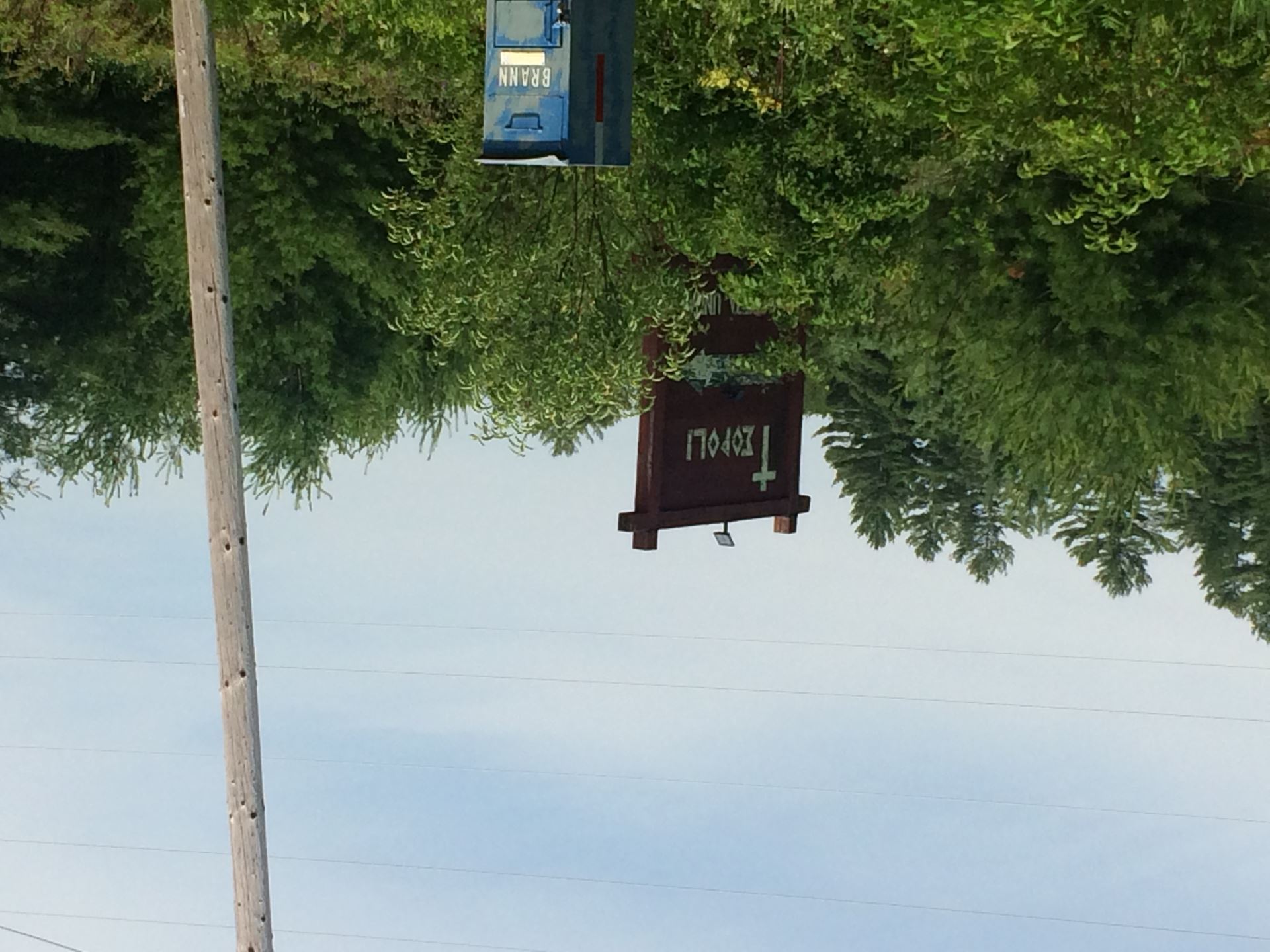
R14.Teopoli, after 5 kms
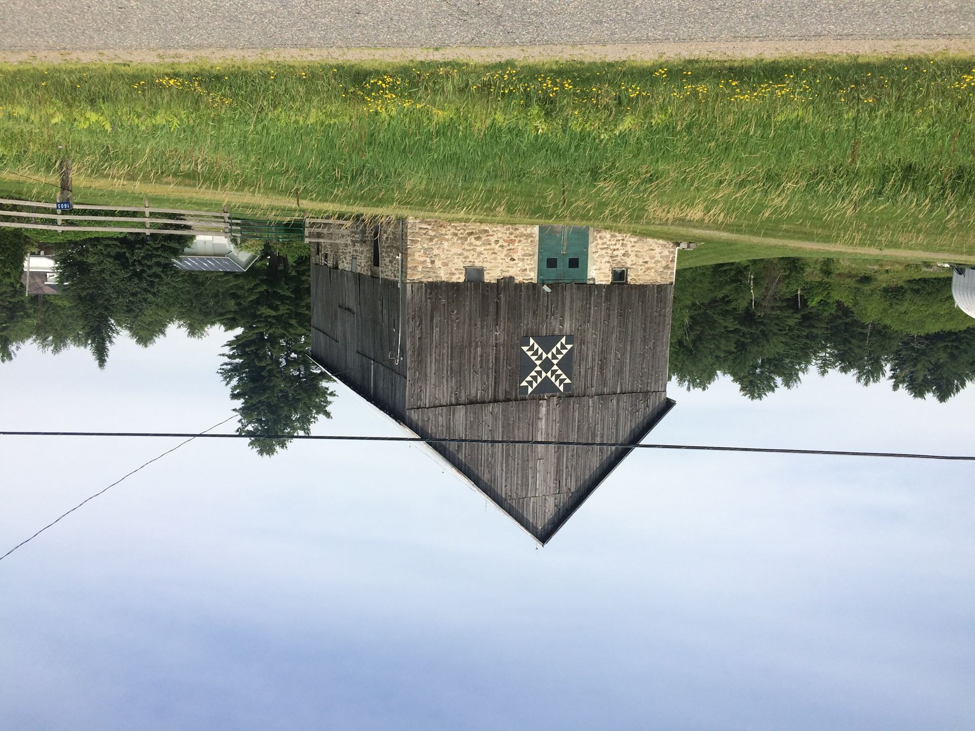
R15.Housey’s Rapids Quilt, the junction of Sam Cook Rd and Muskoka 6.
After crossing the bridge over the Gartersnake River which links Kahshe and Bass Lakes, take the next left (the first detour) to take pictures of
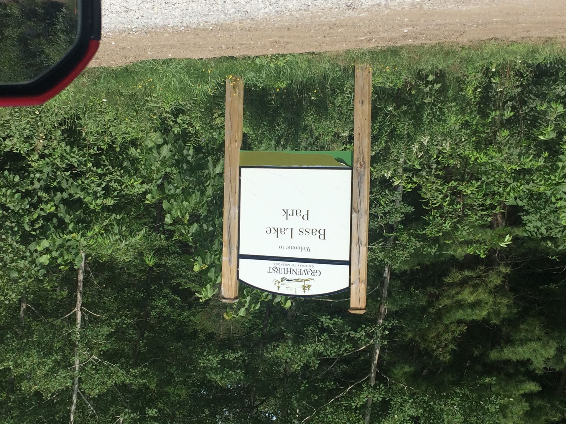
R16.**Bass Lake Park sign (on left)
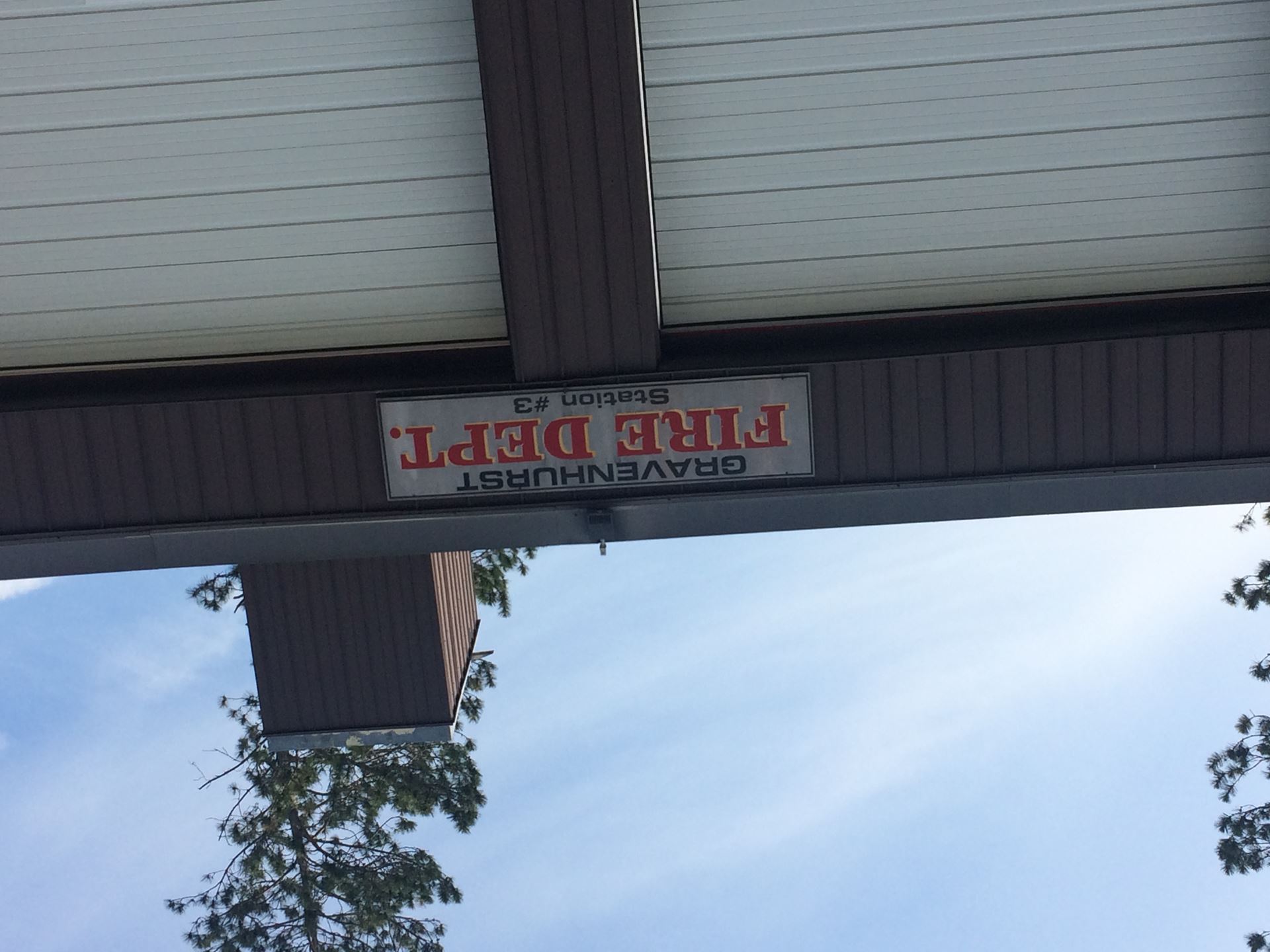
R17.The Firehall
Return to Muskoka 6 to look for
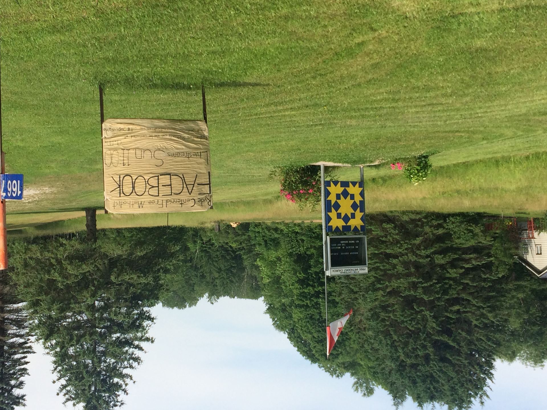
R18.**The Quilt at the Ryde Centennial Free Methodist Church, on left just after rejoining Muskoka 6
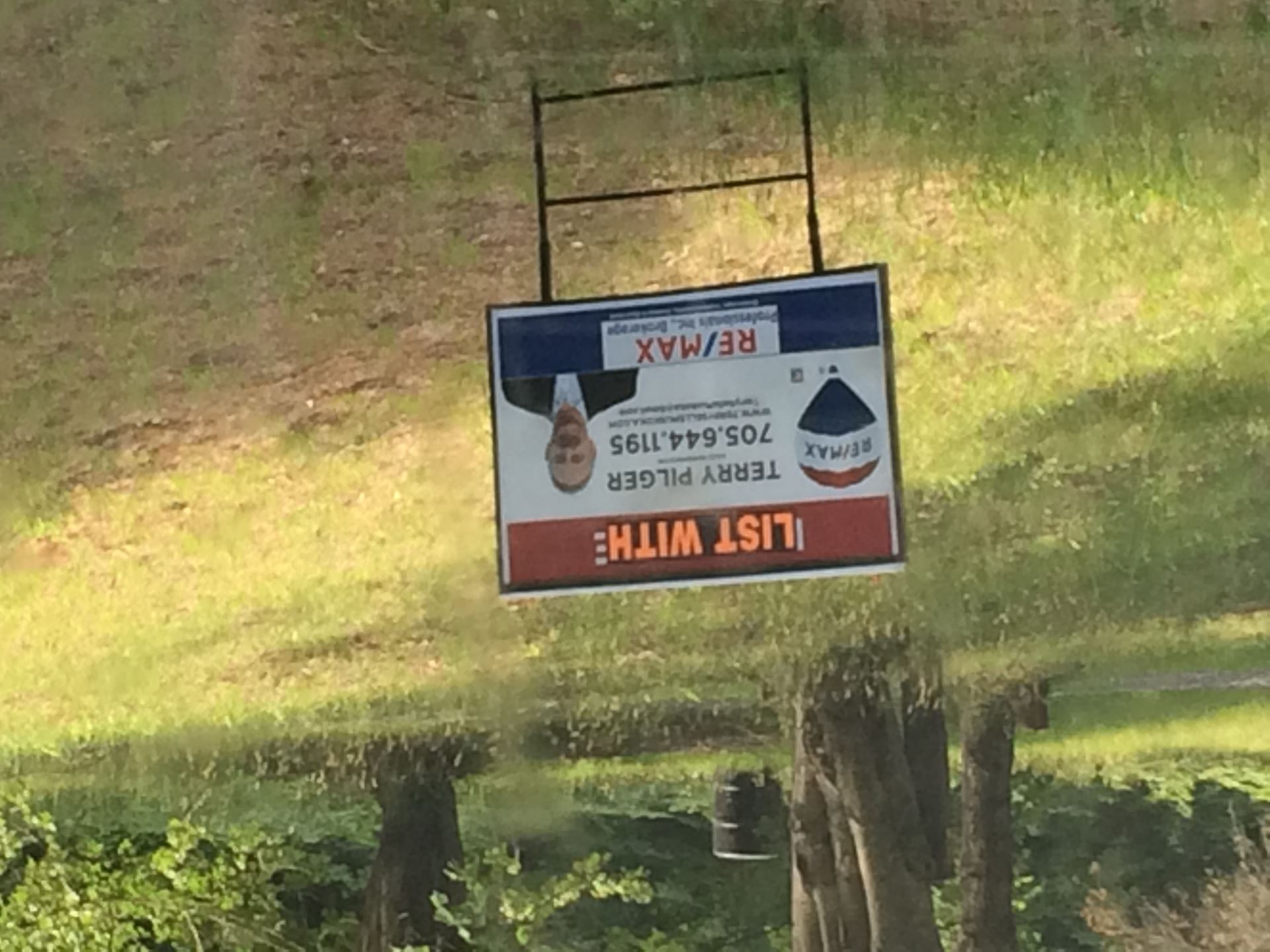
R19.**Terry Pilger Real Estate sign, on right after 2.5 kms
R20.Summerland Store Quilt (on left - pull into parking lot)
The TransCanada Trail can be accessed about 1 km south of Summerland. The old sign is pretty well illegible. What name does the new smaller sign give to the Trail? Q5____________________
Continue for 5 kms on Muskoka 6 to the 2nd detour, turning left when Muskoka 6 turns right at the Black River
R21.Victoria Bridge, after 3 kms
Return to Muskoka 6 and head into Cooper’s Falls
R22.The old General Store, on the left opposite the Cooper Construction sheds
Continue on Muskoka 6 which becomes Q6 ___________________ before you turn right at the T-junction. After 500m turn left to cross Hwy 11. At the stop sign turn left and proceed 1.5km to ...
R23.Lock 42 Since the road to the Lock is under construction, take a picture of the Road Closed sign instead.
Return to Hwy 11 North. Next photo is at the ...
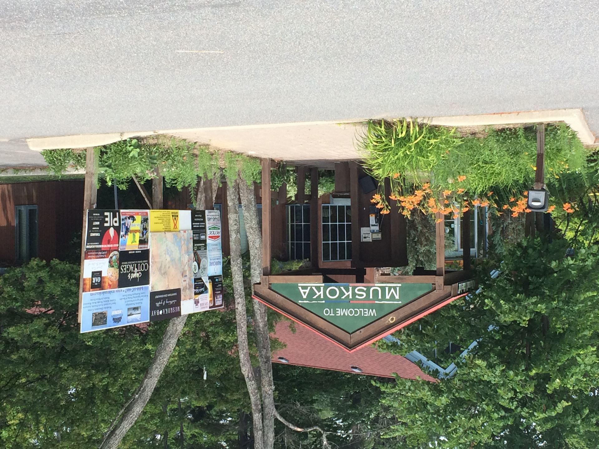
R24.Muskoka Tourist Centre
Which of our advertiser’s signs can be seen between Locations 24 and 25?Q7__________________________
R25.On The Water Designs
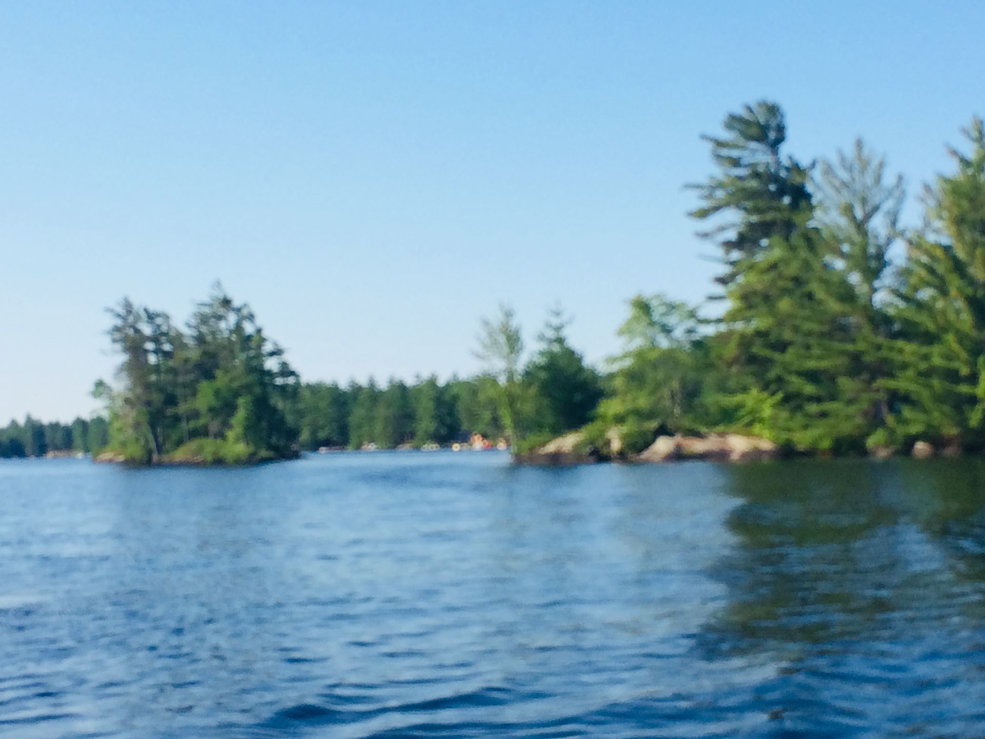
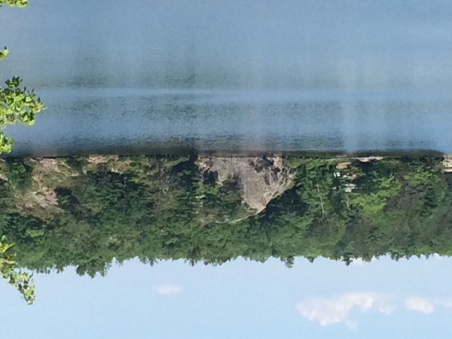
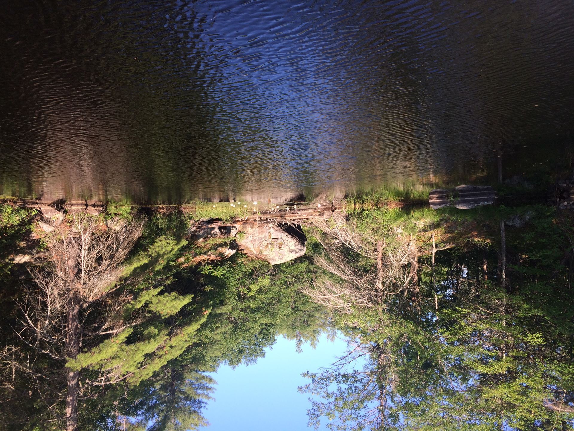
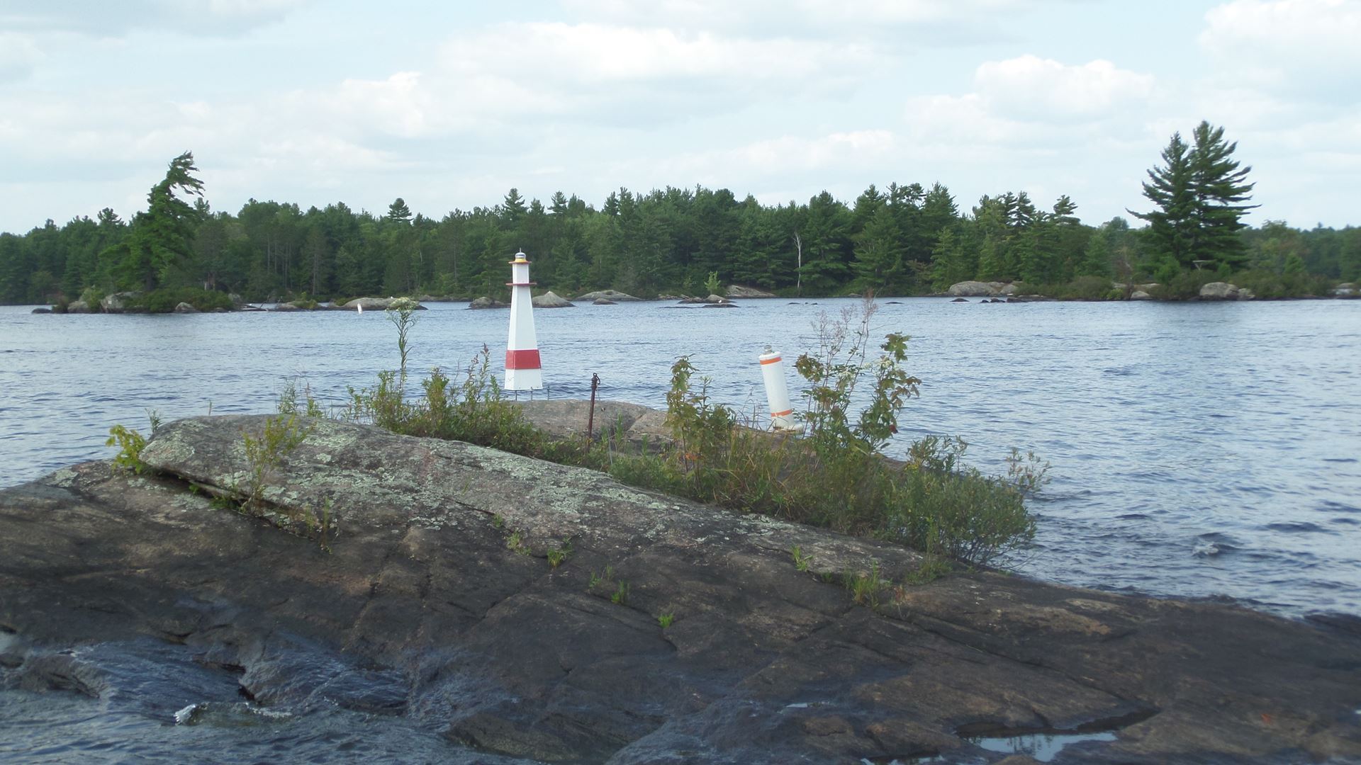
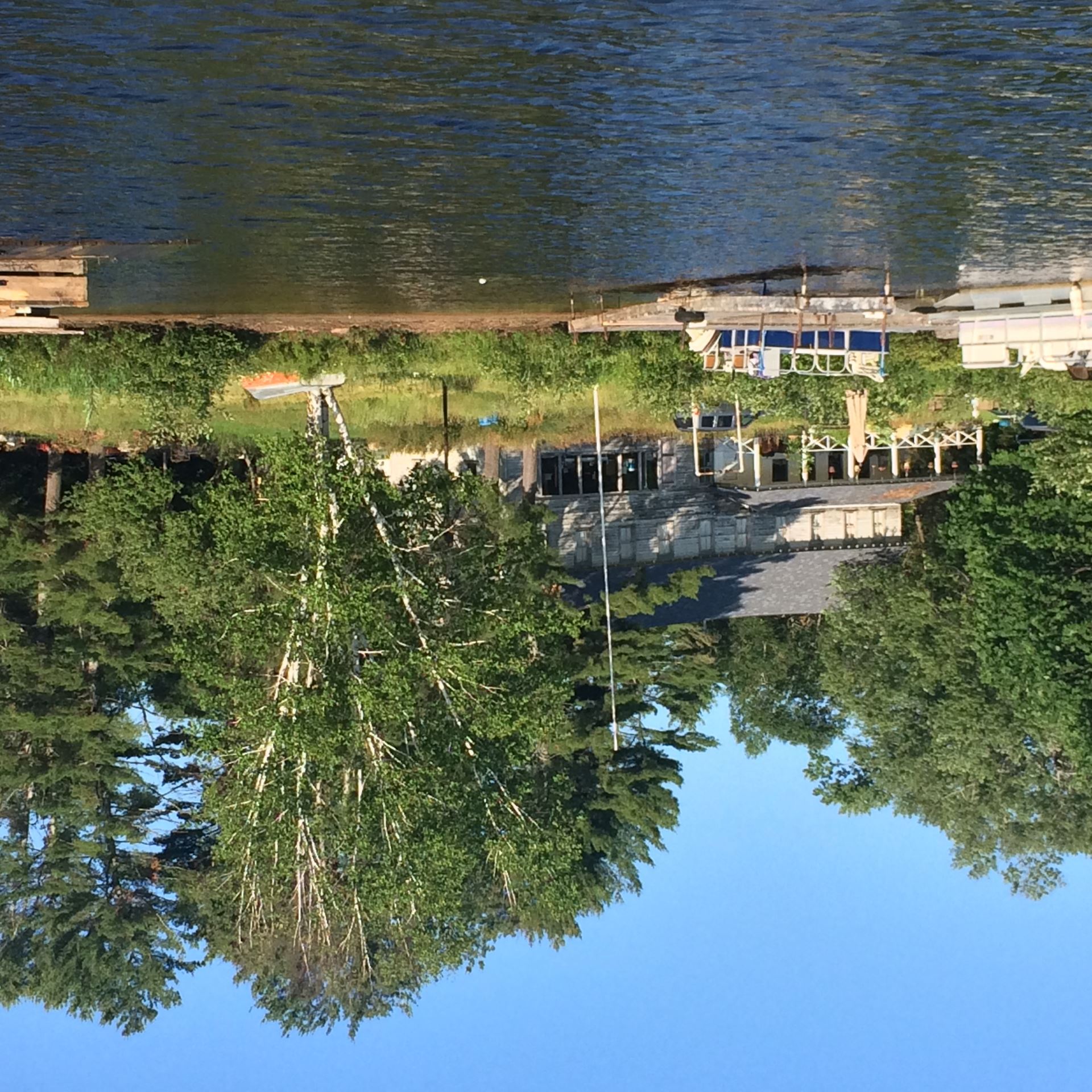
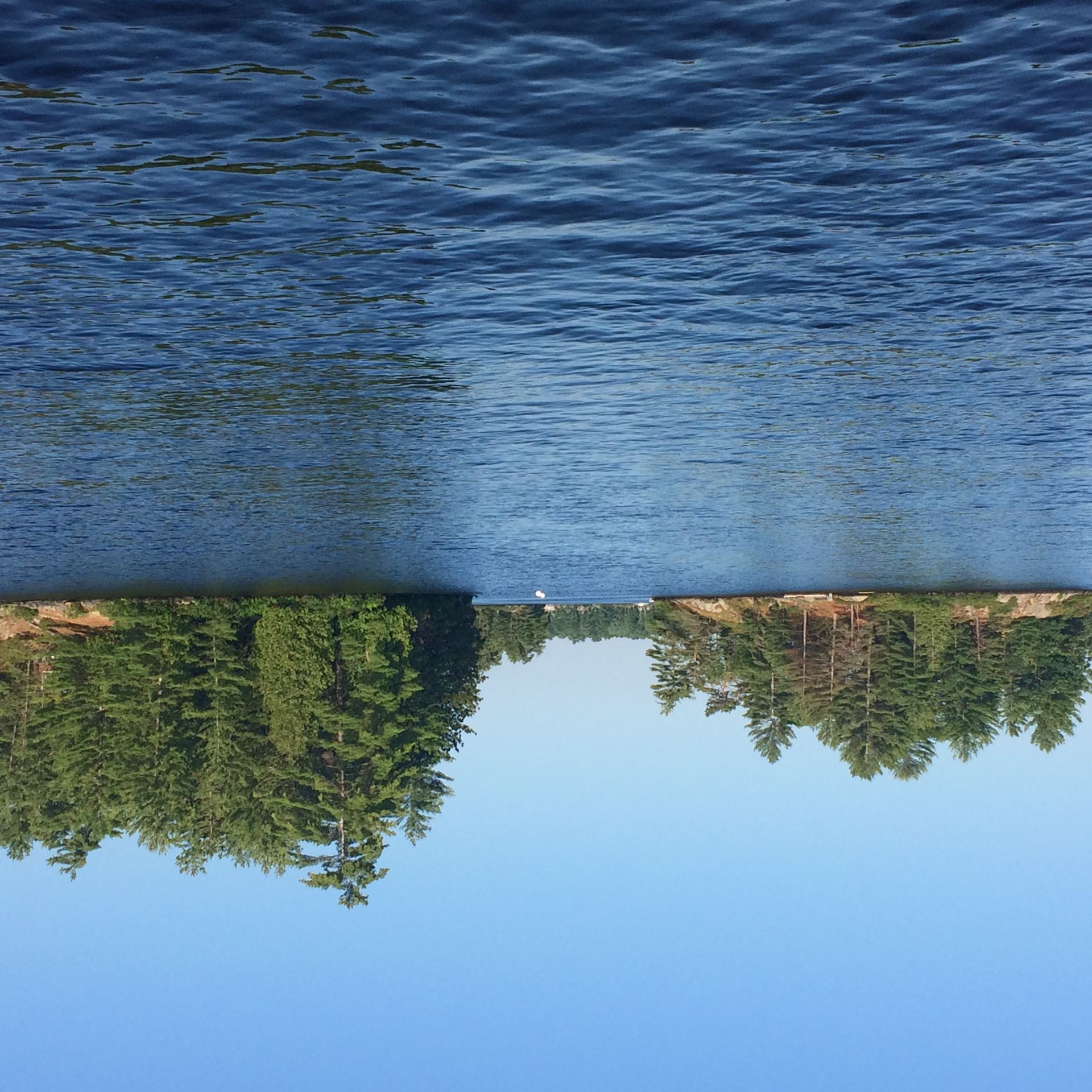
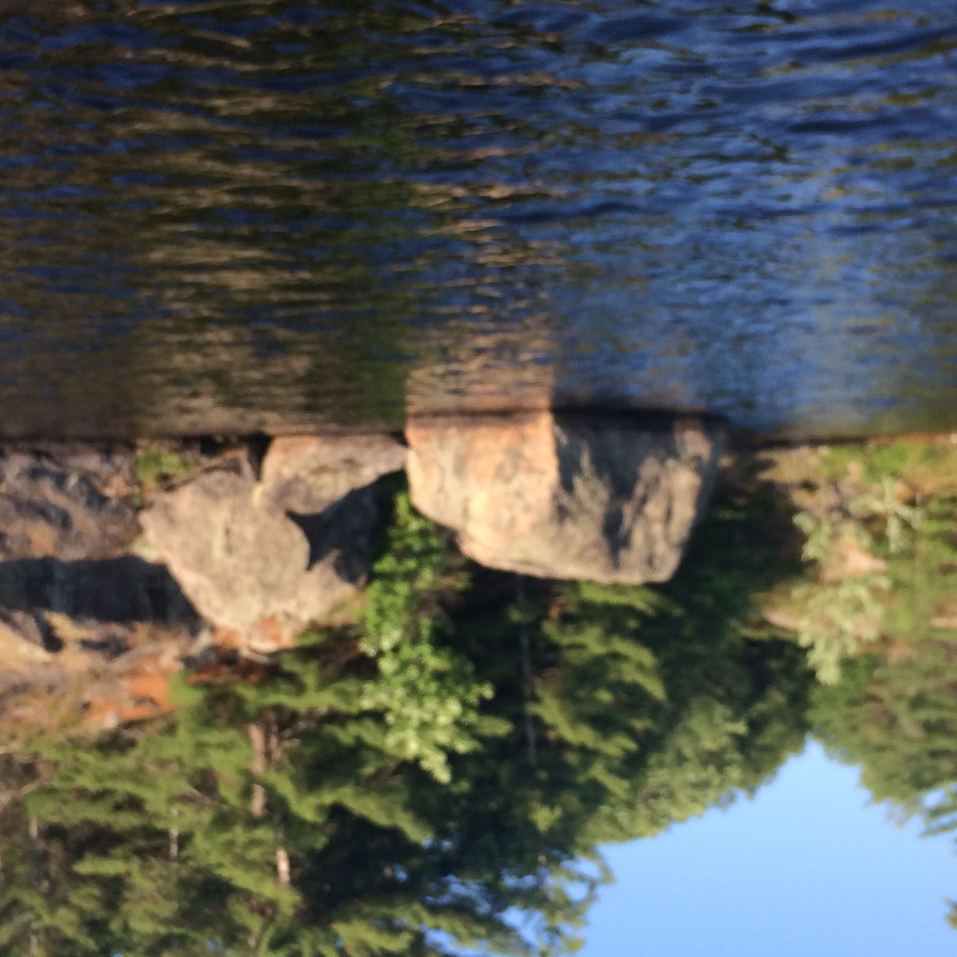
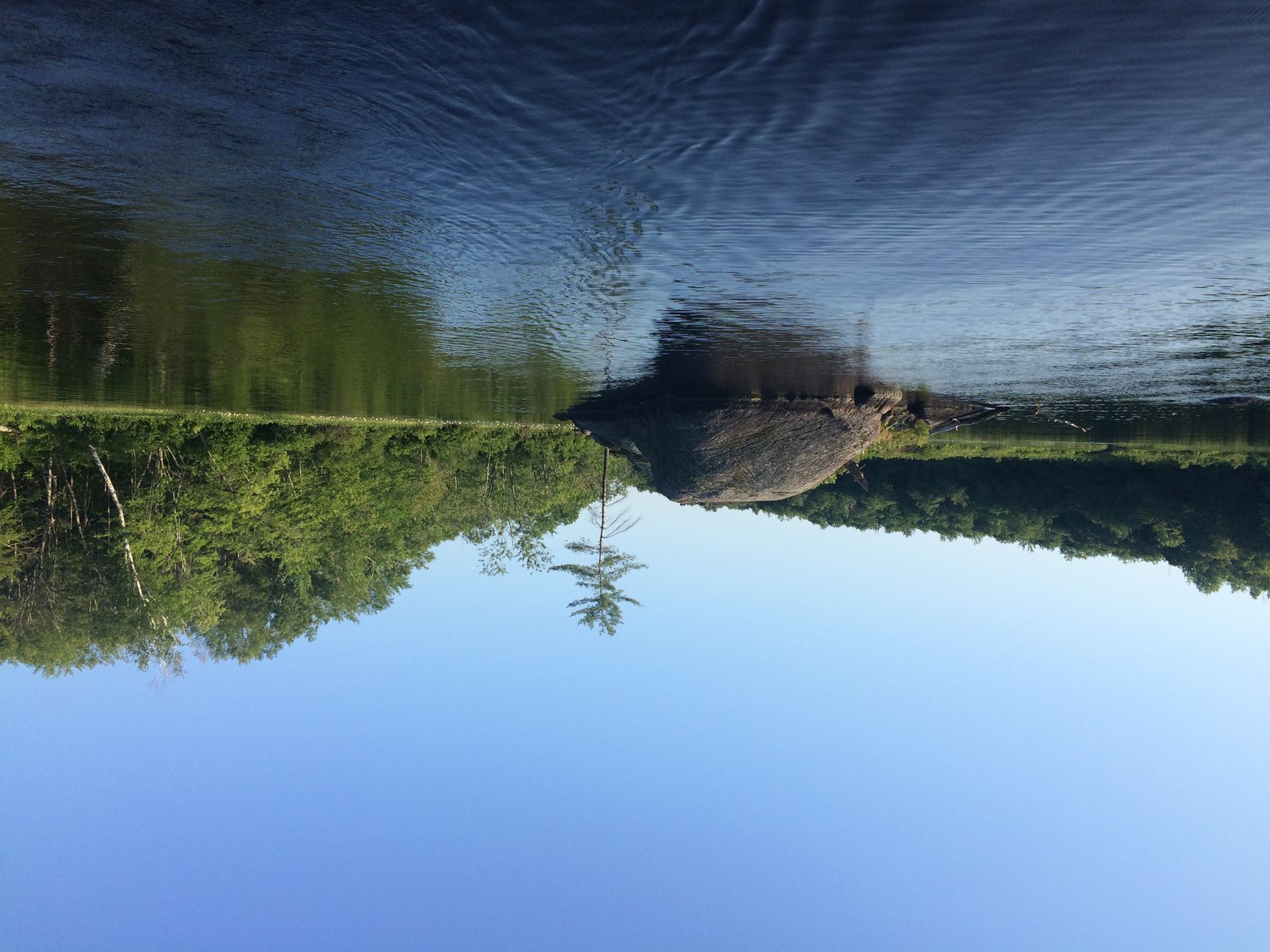
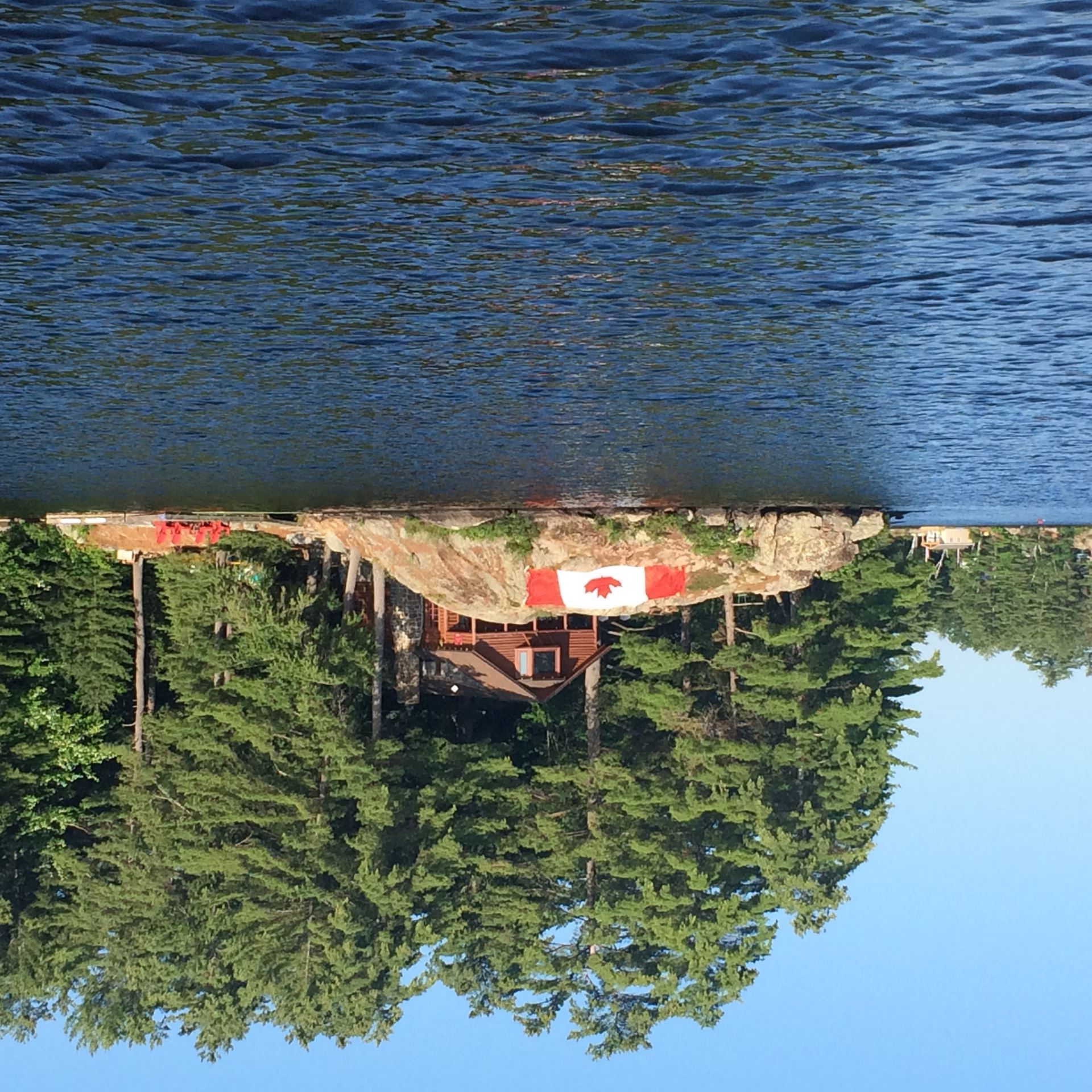
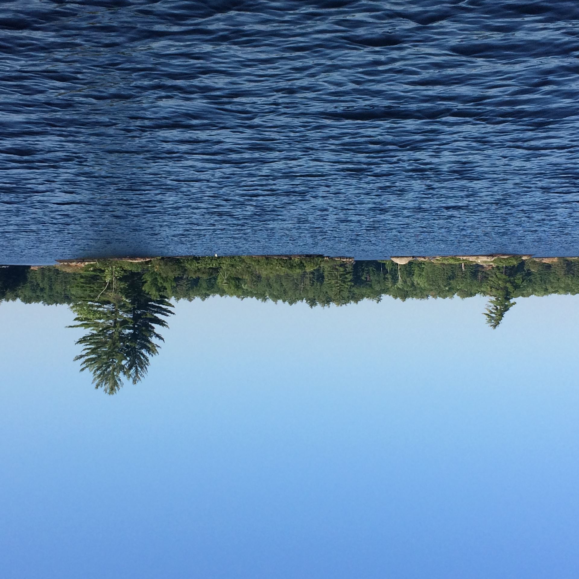
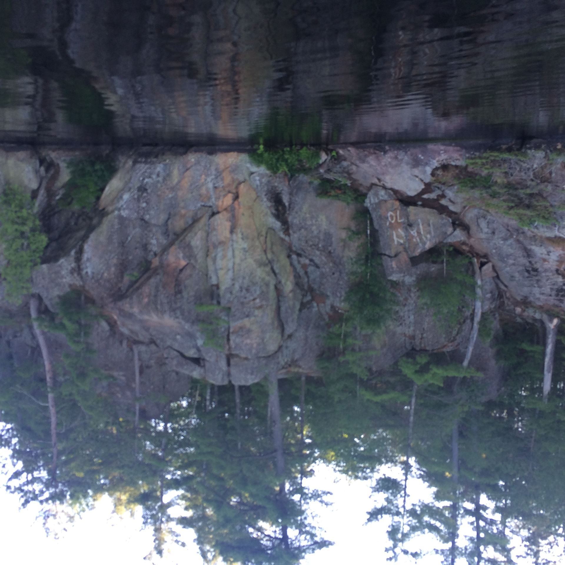
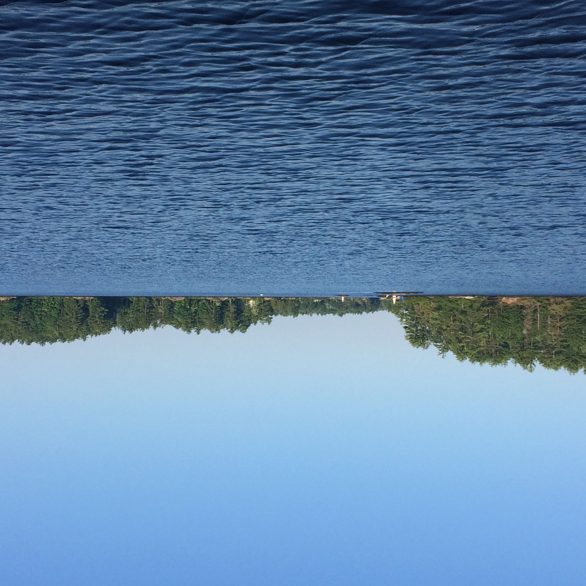
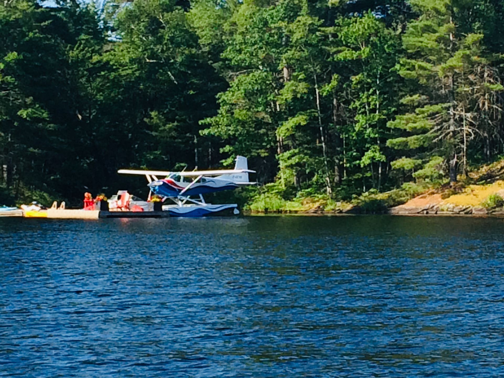
Below are pictures of some of the locations, but not all.